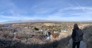
If you’re in the Salt Lake City area but a little more limited on time – this is a great hiking option for you. This is a shorter and easier hike by Utah standards, Orson Smith Park has an amazing feature that makes it stand out…
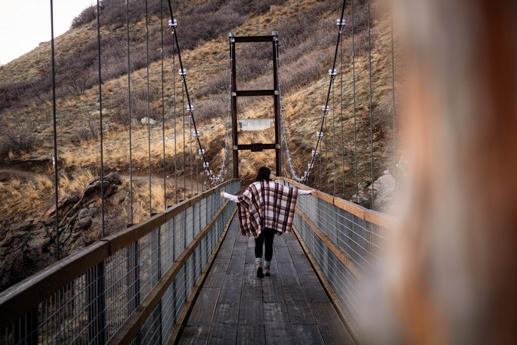
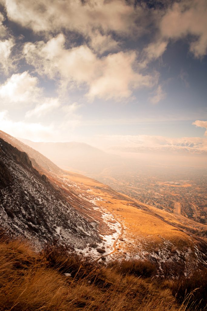
The suspension bridge! It’s only about a quarter a mile ahead of the trailhead entrance and it has stunning views overlooking the valley, specifically Draper, and of course – the Wasatch Mountains.
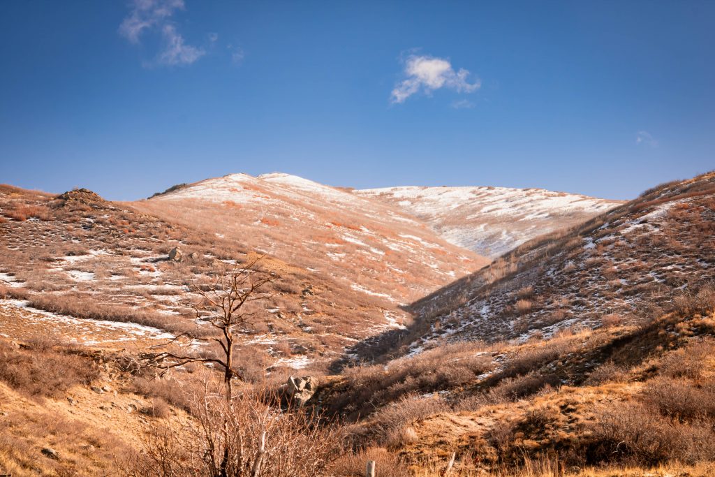
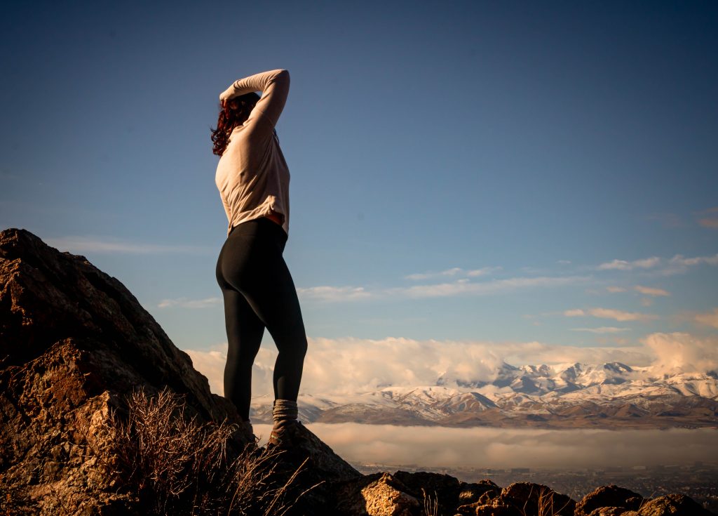
We ventured on this trail at the end of January and it’s completely manageable without special gear, but we are excited to see it come to life in the upcoming spring season.
Onward and Upwards
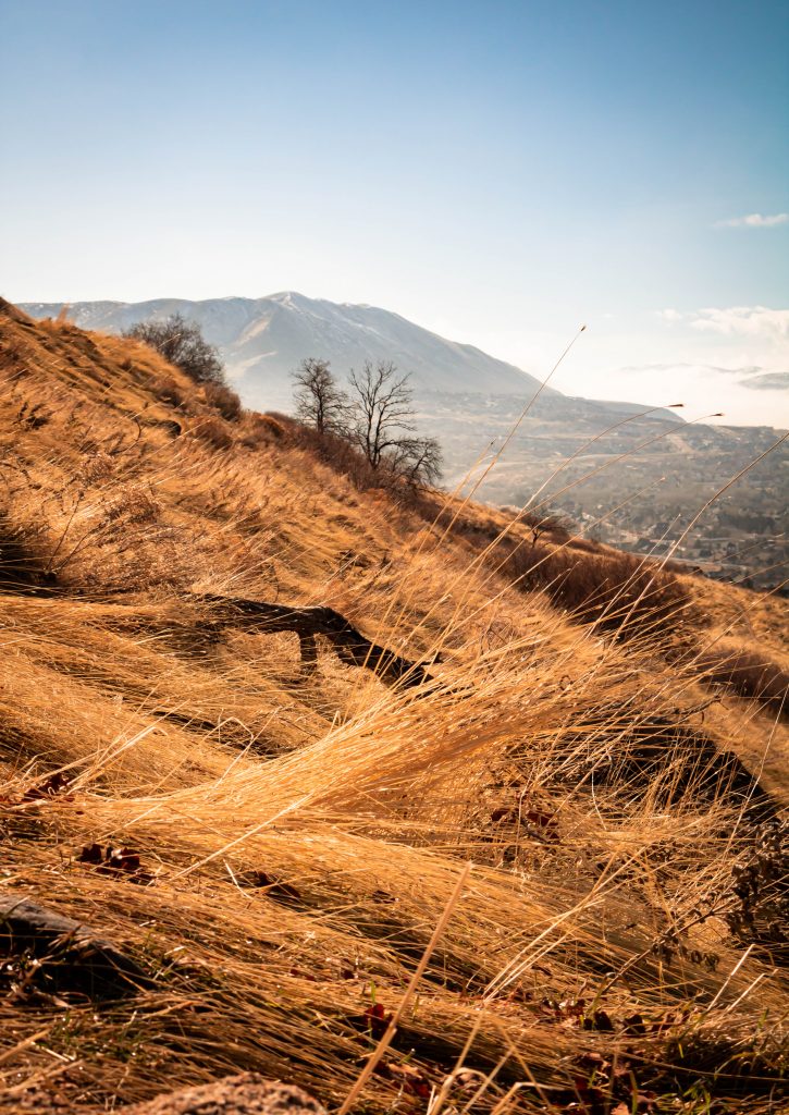
There are many side trails that you can veer off and explore as well that are more difficult and will add to your time and distance. If you simply follow the Orson Smith Trail upwards, you will hit a junction called the Aqueduct Trail.
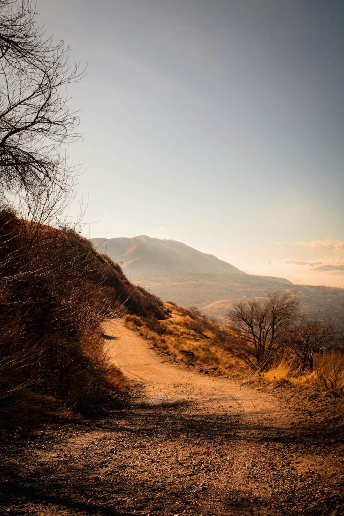
The Aqueduct Trail is very flat, and we only used it briefly to cut across on our way back down the mountain, so if you want to get to the suspension bridge you will continue up the Orson Smith Trail and it will lead you straight to the bridge.
The official name of the bridge is the Bear Canyon Bridge, according to the trailhead map.
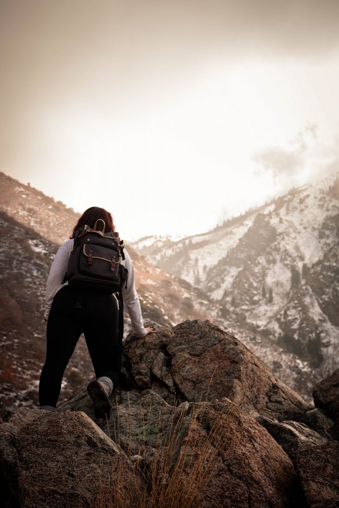
We Got Lucky
It may have been the time of day that we start our hikes – which is fairly early the majority of the time – but we came across the bridge completely empty.

Unless you also know specifically that you have to continue up the Orson Smith Trail and NOT veer off on the Aqueduct Trail to find this gem of a sight, this could be a reason behind the emptiness as well. To be able to stand on the bridge and experience the movement on the platform with the wind is truly mesmerizing.
We were sad that we missed a chance to get photos with the fog that was sitting over the mountains when we first started. By the time we made it to the bridge it had already cleared. Well – let’s be real – Clay was more upset than I was. Photographer problems.
Too Short for Us
The hike to the bridge and back down comes to a little under 2 miles total and is a loop trail, letting you get to the suspension bridge then taking Ralph’s Trail down to meet the Aqueduct Trail and taking Orson Smith Park Trail down to the trail entrance.
Going back to how this is a perfect hike for visitors looking for a cool experience that’s not as rigorous or time-consuming.
For us personally, we veered off onto some out-and-back style trails off of the main loop.
This Always Happens
Instead of completing the easy circuit above – we took the B.S.T. (short for Bonneville Shoreline Trail) which you will see veers to the immediate right as you approach the suspension bridge. It’s clearly marked on the trail as well as the map before heading up the trail head.
This part was not as easy considering the mountain is in complete cover so the snow was ice for the majority of our trek upwards. We needed cleats again at this point, which we didn’t have, but the view is stunning if you decide to add it to your hike.
From the vantage point once you get higher up on the B.S.T. trail, you see an above view of the suspension bridge and it’s breathtaking – and also a great photo opportunity!
Mysterious Trail-Head
At this point, we still hadn’t had our fill yet and found a junction at the top of the B.S.T. that was named Trail of the Eagle, which we did not see on the original map before heading up the trail.
We figured why not, not knowing how far or where it leads to. We couldn’t find the trailhead on Google Maps as we trekked upwards nor on All Trails – which is our fail-safe when going out on trails. So far, we have always been able to track our whereabouts using these two tools and it wasn’t listed or shown on either!
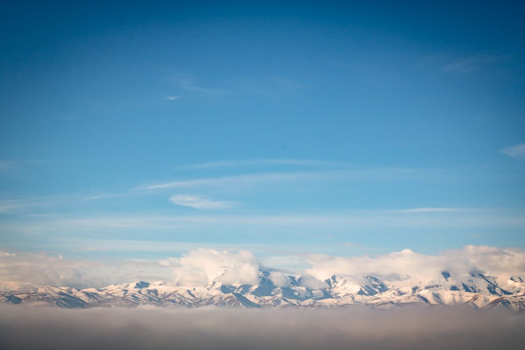
We made it about 1.5 miles up before deciding to turn back, it’s a complete switchback trail upwards the entire time. The views were phenomenal, and we will try tackling it again in better weather conditions.
Overall Thoughts
This hike was beautiful and I highly recommend it for quick trips and easier hiking opportunities. I’m curious to where that trailhead leads at this point and I’m counting down the days until spring officially arrives to venture to this trail again.
Also, this hike is dog-friendly! A lot of pups on this trail, make sure to prepare their paws when hiking in snow. Part of the reason our dogs haven’t been out on a lot of the trails with us during winter.
If you’re familiar with the SLC area – and you know which trail I’m talking about – let me know!